Grand Jury Report on Fire Department EMS in Orange County

The recently published document by the Orange County grand jury regarding the deployment and response of resources by Orange County fire departments to emergency medical calls for service is both stunning, and concerning in the inaccuracies, opinions, and falsehoods presented as fact. The determinations made appear to be based on these failures or research, and lead to what may be a pre-ordained belief, without factual support. Because this document rehashes a 2012 effort of a similar matter, I am disturbed by the need for another review that fails to build on the earlier discussion.

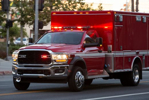
Fundamentally, the local fire department deploys resources designed to respond to and to mitigate the unwanted effects of the environment on life, property, and the environment itself. Albert Einstein is quoted as saying that the environment is “everything but me,” referring to himself at the time. Except for specifically law enforcement related matters, unrelated to unwanted fire, this defines the responsibility of fire department emergency response. The two most time sensitive, or emergency responses, include fire suppression and emergency medical/rescue code-three (with lights and siren) response. The fire service is truly a multi-mission operation that serves to address many of the emergency needs of the community. The capability of the local fire department is only limited to the funding and leadership provided by the governing agency decisionmakers.

To fully understand the importance of emergency response it is necessary to carefully consider the concept of time, and the influence of time on the growth of uncontrolled fire and patients in extreme medical conditions i.e., coronary, stroke, blood loss et al. In all these situations the outcome is directly related to timely intervention. The sooner that trained personnel, operating efficiently, arrive at the scene and begin fire suppression or medical treatment the more likely that a desired outcome is probable. There are three components to the total response time of a fire department: call processing time, turnout time, and travel time. The only component that cannot be manipulated to a great extent is travel time as rescue personnel can only travel so fast through the city streets to arrive at the scene of an emergency.

The distribution of fire stations across the land mass of a city like Newport Beach serves to place fire department rescue personnel near potential fires or medical emergencies under static conditions. During times of fire department system stress due to uncontrolled fire i.e., Emerald Bay and Coastal Fire recently, in Orange County and specifically Newport Beach, a rapid and integrated system is employed to shift similar resourced into areas of reduced coverage. This was recently demonstrated and reported to the City Council in a timely fashion by the fire chief regarding the Coastal Fire in Laguna Hills. Rapid intervention serves the people you, and your fire department serve.

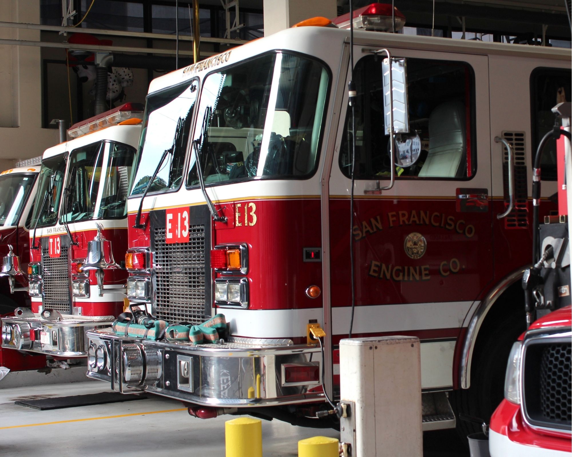
Of the two identified time sensitive functions of the fire department, fire suppression and medical/rescue, resource deployment should be considered for the need based on a timely response to the incident, or potential incident. Because the building stock of a community changes slowly over time, the deployment of firefighting resources and staffing at the local firehouse responsible for initial fire suppression efforts should be based on factors related to risk, occupancy type, and travel time to all areas of initial responsibility, or first due for the resources staffed at that firehouse. Earlier intervention of fire should equate a smaller fire that is extinguished faster, requiring fewer total resources from neighboring firehouses. This concept should result in a more efficient operation that has fewer fire stations assigned to a fire and committed to a fire outside the first due area.

Because the community will need the firehouses staffed for fire suppression needs, the use of these same firefighting personnel for emergency medical/rescue response was seen as a wise use of taxpayer funds. The report fails to understand the wisdom of this important concept, and in fact fails to consider this altogether. Fire apparatus, fully equipped to perform all the multi-mission functions, and available 24/7 unless committed to a prior emergency is the gold standard of the business. The idea presented to staff a two-person medic unit in place of a “second” engine at the Laguna Woods firehouse fails to consider the multi-mission functions of a fire station that protects a large hospital, a very busy complex of freeways, and housing with mature residents who will need additional support under emergency circumstances. That Laguna Woods firehouse is staffed in that fashion because it is the busiest firehouse in a densely developed county of over 3 million residents. Drawing broad conclusions based on a limited, and often false understanding, has resulted in a bad recommendation.

I found it unusual that Newport Beach in particular, with a somewhat unique deployment of resources only matched by the City of Orange, was not mentioned in text of this report. This was especially noteworthy as the thesis of the report was focused on resource deployment, city operated ambulance services, and the Orange County Fire Authority (OCFA). The limited investment by the OC grand jury into the research on this important subject only serves to support the idea that the effort was biased from the start and will provide ample information for those intent on diminishing the value of a future OC grand jury report on a similar subject.

Cell Phone Tracking for Dynamic Public Safety Deployment

Based on research, most children will likely have a smart phone by age ten.  Assuming that most people carry their personal phone with them most of the time, this information can be instructive for the purposes of public safety deployment relating to need, surge capacity and deployment of fire, police, emergency medical services (EMS), and lifeguard posting.

The protection of the public is the prime mission of a public safety organization. Therefore, the location of people and the environment in which they live are the focus of the efforts to protect the greater public to the best of its collective ability, with reasonableness and with mindfulness to individual liberty. Recently, advancements in technology and the widespread use of cell phones have proven valuable in the understanding of the daily movement of people. If public safety providers can utilize this technology for the intelligent deployment of limited resources, then greater efficiencies could be realized.

Cellular phone technology is so named because each individual cell phone is linked to the greater system by a series of cellular towers that transmit the data between each other to the destination. These cellular phones are in constant communication with a tower using electromagnetic wavelengths.

Cellular phone providers are tasked with setting up a cellular network to provide coverage for their customers across the country and across the world. Cell phone towers in wide open areas can provide service for up to a 25-mile radius around the tower. However, in congested, dense cities with tall buildings, this requires a large number of cell phone towers that often only cover several city blocks. Large buildings, built from solid materials, unintentionally block cell phone signals, leaving the customer without service. Cell phone providers, therefore, try to cover every block and every direction, to provide smooth cellular coverage to their customers.

Each cell phone tower has a precise location, with latitude and longitude coordinates. A cell phone provider will be able to provide the location of cell phone towers. On top of this, each cell phone tower is comprised of usually three sectors, pointing in different directions, to form a triangle that covers 360 degrees. When a cellular phone connects to a particular cellular tower, the records indicate which sector the cell phone pinged. In other words, if your cell phone pinged off the northeast tower sector, the records will indicate that you were generally in a northeast direction from that cell tower, which narrows down your exact location.

As you move around, and use your phone for various purposes, your movements are creating a record of the usage and your cell phone location. This is captured in what is referred to as a “Call Detail Record” and would be received from the service provider in response to a proper legal subpoena. When your phone attaches and reattaches to different cell towers as you move, it becomes possible to see in which direction your phone is traveling.

In order to more closely pinpoint your location, it is important to understand that a cell tower providing voice and text message service does not also provide data usage. So, if you are receiving text messages throughout your day, and also opening and closing a web browser or a mapping application, you are connected during those times to two different cell towers. Specifically, you are connected to two different sectors on two distinct cell towers. Where those coverage areas overlap, a reasonably good understanding of the city block where you are standing is known.

When you are attempting to use your phone, but there is a lack of signal strength, or you are blocked by a building, your phone remains aware of the closest available cellular tower for the purpose you need service (data or voice/text). The phone will continue to attempt to connect to the closest cell phone tower. The only time your movements and location are not being tracked is when your phone is completely turned off.

Realize that our phones are always operationally on and are constantly using data service to receive our emails, text messages, and calls. Often, we are opening and closing various applications that require data usage. This means that cell phone users are frequently connected to two different cell phone towers. Based on the sectors we connect to, and where those coverage areas overlap, the cell phone company, or a party who has served a subpoena for your call detail records can pinpoint your location closely. This is particularly true in a dense city location, where there are many, low-range cellular towers that cover only a couple of city blocks.

In the middle of a long drive through open and flat terrain, the cell phone towers cover much longer areas, and it is more difficult to pinpoint your location exactly. The call detail record would be able to track, generally, the direction of your travel, and what town you stop in. But, in the city, all of the constantly pinging cell phone towers keep close track of our movements and where we are at any given time.

For the purposes of the dynamic deployment of lifeguard personnel, using anonymized cell phone location data can be utilized in the intelligent understanding of when (time of day) and where (lifeguard tower) to deploy lifeguard rescue personnel. The mobile deployment of water rescue personnel in a patrol vehicle is done during periods of low numbers of beach visitors and few people in the open water, or when posted at a tower when beach occupancy rates dictate more water watchers in a stationary location (tower) to observe and pre-empt trouble.

Consider that available anonymized cellular phone location data technology can reliably be used to determine how many people visited the beaches, and the locations from where they came on any given day of the year. Additionally, using this data, managers can more precisely predict how temperature, holidays, weekends, school activities, economic environments and political influences affect the incidence of beach visitation, water rescues, preemptive actions, etcetera. Previous attempts to understand visitor counts were not scientific, and probably not as accurate as needed to achieve the desired efficiencies.

Utilizing anonymized cellular phone location data, and potentially leveraging artificial intelligence, the authorities having jurisdiction (AHJ) can move from the anecdotal to a reliable predictive operation. This is likely to have multiple levels of benefit in the administrative and operational domain, something that senior managers can use to more precisely devote limited tax resources. Less total staffing hours can lead to reduced personnel staffing dollars, less exposure to ultraviolet sun exposure for the employees, lower workers compensation claims, and most importantly, a potentially greater save rate for water rescue victims.

For the fire service, the situation is both static and dynamic. Fire protection, by nature, involves maintaining a capability to suppress fire in the developed and undeveloped environment based on a reasonable standard as determined by the AHJ. Understanding how fire may threaten life in a specific AHJ environment is instructive on where (distribution) and how many (concentration) of statically deployed (fire station) resources are staffed over the geographical landscape. Travel time is the uncontrollable metric in the total response time (TRT) three-part standard of call processing time, turnout time, travel time. Remember that while many calls for service may originate from the local fire station, the fire company is available nearly 24/7/365 and when the alarm is sounded all assigned units are obligated to respond without delay. So, travel time from the fire station matters and operationally indicate that the location of the facility should be in the middle of the initial service area, or first due. Cellular location data in this metric may not provide as much assistance beyond long range planning for the location of future fixed facilities like a fire station.

For the dynamic location of EMS companies, the anonymized cellular phone location data could be exceptionally valuable for the efficient deployment of ambulances and paramedic units. During a normally functioning economy, most people move during daylight hours toward their employment site in the morning (0600-0900) and back to their home at night (1600-1900). The traffic patterns of vehicles, subway systems and other modes of transportation reflect the dramatic movement of people during the normal workday. By analyzing these figures, EMS managers can forward deploy prehospital care resources to a location that will provide optimal travel time access to a patient. This could include staging an ambulance near a freeway on-ramp in the morning and late afternoon hours, and near any event that could expect large gatherings of people for commercial events and a civic rally.

Police protection is a much more complicated component in the discussion of dynamic deployment of resources. Because of the myriad of differing state and federal laws involving law enforcement access to anonymized cellular phone location data, it is important to limit data to that which does not involve personally identifiable information. Law enforcement is a closely scrutinized service that involves significant regulation and oversight by local, state and federal authorities. Much of the business of police work involves observation, response, intervention and investigation. The ability to enhance the efficiency and performance of law enforcement officers by police managers may include the use of anonymized cellular phone location data for the deployment of patrol, foot beat and special assignment personnel.

The deployment of law enforcement resources and personnel is dynamic, as deployed police officers are usually on patrol in a marked/unmarked vehicle or on foot/horseback. By understanding what motivates non-residents to travel into a community, the police managers can utilize the information provided in the anonymized cellular phone location data for predictive solutions to crime suppression, traffic control and management challenges.


Modifications to the Medical Priority Dispatch System in the age of COVID-19

The Medical Priority Dispatch System (MPDS), sometimes referred to as the Advanced Medical Priority Dispatch System (AMPDS) is a call taking system used to dispatch appropriate aid to medical emergencies including systematized caller interrogation and pre-arrival instructions. Priority Dispatch Corporation is licensed to design and publish MPDS and its various products, with research supported by the International Academy of Emergency Medical Dispatch (IAEMD). Priority Dispatch Corporation, in conjunction with the International Academies of Emergency Dispatch, have also produced similar systems for Police (Police Priority Dispatch System, PPDS) and Fire (Fire Priority Dispatch System, FPDS).

MPDS was developed by Jeff Clawson from 1976 to 1979 prior to his medical school training. Clawson designed a set of standardized protocols to triage patients via phone and reduce call processing time and create efficiencies in the emergency medical system (EMS) response. Protocols were first alphabetized by chief complaint that included key questions to be asked the call taker, give pre-arrival instructions to the reporting party, and to assign the proper resources to the request for EMS assistance.  

MPDS begins with a call-taker dispatcher asking the reporting party key questions. These questions allow the EMS dispatchers to categorize the call by chief complaint and to establish a determinant level ranging from “A” (minor) to “E” (immediately life-threatening) relating to the severity of the patient’s suspected condition. The phone information is used to accurately assign resources to the incident scene and the proper code of response i.e., red lights and siren. The MPDS also uses the determinant O which may be a referral to another service or other situation that may not actually require an ambulance response.

In 2020 the spread and concern of COVID-19 had caused a dramatic change in the procedures used by pre-hospital personnel in an effort to minimize risk following known, and unknown exposure to a patient with COVID-19. In an effort to minimize exposure on all EMS pre-hospital care patients many delivery systems are limiting the previously standard number of personnel arriving at the scene that physically interact with the patient. Further techniques including moving the patient from a confined space environment to the outdoors, and greater use of a higher level of PPE are practiced in an effort to minimize exposure. 

Each of these efforts, including additional questioning may benefit the hopeful outcome of reduced exposure. However, I believe that technology can provide additional benefit utilizing anonymized cell phone location data (“pings”) based on occupancy types that speak to the number of people per square foot, amount of linger time, and pathway crowding. This data could be used to better understand where people congregate and what methods could be used to leverage this data in an effort to minimize exposure to COVID-19.  

Information on person per square foot, time spent on location, activity during linger time i.e., sweating at a gym, seated at a church, could be used to more clearly identify potential location dangers of biological hazardous previously not well understood. This information will provide dividends in a healthy work environment, potentially higher morale, and overall healthy workforce, potentially saving resource dollars for other preventative needs.  

Locations and occupancies of potential “super-spreader” environments learned prior to arrival at the scene may reduce call to patient contact time as EMS response personnel can be fully and appropriately dressed in personal protective equipment (PPE) upon arrival at the scene. This data could lead to other modifications to EMS response not able to be understood today due to the lack of available data. 

Due to the heavy burden of workers’ compensation claims for federal, state and local government related to COVID-19, and the likelihood of additional biological challenges in the future, the potential benefit of leveraging anonymized cellular phone location data into the MPDS for responder safety and public health is highly valuable.